Help! - Question about maps?
Hello there,
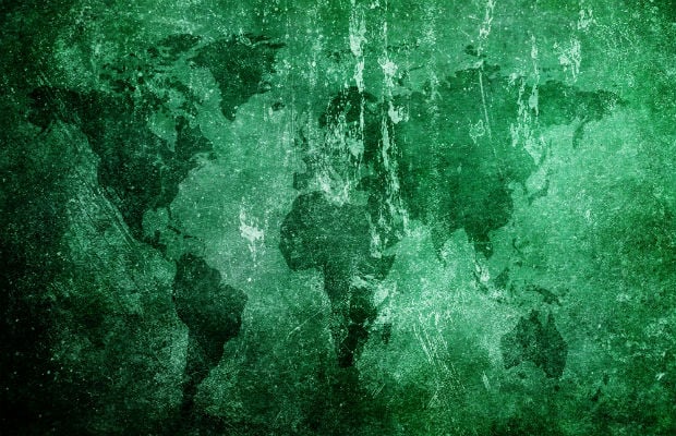
I am currently studying Illustration and for my current project I am looking at maps and how they were made etc. I'm struggling to find an answer online because I'm unsure of how to word my question. I'm hoping some of you out there could help me out.
I want to know who/what decided on an area of land to be its shape and size on a map? Some examples: How was it decided one town ends and another begins? How are forests and oceans divided? How was it determined that Brighton ends and Hove starts?
Hopefully these questions make sense as it's starting to hurt my brain!
Hi there,
While you're waiting for an answer, did you know we have 300,000 study resources that could answer your question in TSR's Learn together section?
We have everything from Teacher Marked Essays to Mindmaps and Quizzes to help you with your work. Take a look around.
If you're stuck on how to get started, try creating some resources. It's free to do and can help breakdown tough topics into manageable chunks. Get creating now.
Thanks!
Not sure what all of this is about? Head here to find out more.
Quick Reply
Related discussions
- GCSE English
- mindmaps for revision
- HELP
- How to improve mock results?
- Geography NEA
- A Level Chemistry revision techniques
- A level chemistry
- Best Revision Techniques
- University of bath
- How do you study for A Level Geography?
- How do you revise for triple science to get all 9s
- AQA Alevel geography NEA help
- Zoology at Exeter University Penryn Campus
- Higher history assignment
- A level Biology
- revision
- How do I revise efficiently?
- Psychology
- GCSE revision for a month: Help
- OCR A Chemistry Predictions
Latest
Trending
Last reply 15 hours ago
AQA GCSE Geography Paper 1 (8035/1) - 22nd May 2023 [Exam Chat]Last reply 1 day ago
A-level Geography Study Group 2023-2024Last reply 1 day ago
Edexcel A-Level Geography Paper 1 | 16th May 2024 [Exam Chat]Last reply 3 days ago
Edexcel A-Level Geography Paper 3 | [12th June 2023] Exam ChatLast reply 6 days ago
Edexcel GCSE Geography A Paper 1 (1GA0/01) - 17th May 2024 [Exam Chat]Last reply 1 week ago
AQA A Level Geography Paper 1 (7037/1) - 16th May 2024 [Exam Chat]Last reply 3 weeks ago
OCR A-Level Geography Paper 1 Physical Systems | 16th May 2024 [Exam Chat]Last reply 3 weeks ago
AQA A Level Geography Paper 2 (7037/2) - 3rd June 2024 [Exam Chat]Last reply 1 month ago
OCR GCSE Geography B Paper 2 (J384/02) - 9th June 2023 [Exam Chat]Last reply 2 months ago
OCR A-Level Geography Physical Systems | [17th May 2023] Exam ChatLast reply 3 months ago
AQA GCSE Geography Paper 2 (8035/2) - 9th June 2023 [Exam Chat]Last reply 4 months ago
OCR GCSE Geography B Paper 1 (J384/01) - 22nd May 2023 [Exam Chat]Last reply 5 months ago
Edexcel A-Level Geography Paper 2 | [6th June 2023] Exam ChatTrending
Last reply 15 hours ago
AQA GCSE Geography Paper 1 (8035/1) - 22nd May 2023 [Exam Chat]Last reply 1 day ago
A-level Geography Study Group 2023-2024Last reply 1 day ago
Edexcel A-Level Geography Paper 1 | 16th May 2024 [Exam Chat]Last reply 3 days ago
Edexcel A-Level Geography Paper 3 | [12th June 2023] Exam ChatLast reply 6 days ago
Edexcel GCSE Geography A Paper 1 (1GA0/01) - 17th May 2024 [Exam Chat]Last reply 1 week ago
AQA A Level Geography Paper 1 (7037/1) - 16th May 2024 [Exam Chat]Last reply 3 weeks ago
OCR A-Level Geography Paper 1 Physical Systems | 16th May 2024 [Exam Chat]Last reply 3 weeks ago
AQA A Level Geography Paper 2 (7037/2) - 3rd June 2024 [Exam Chat]Last reply 1 month ago
OCR GCSE Geography B Paper 2 (J384/02) - 9th June 2023 [Exam Chat]Last reply 2 months ago
OCR A-Level Geography Physical Systems | [17th May 2023] Exam ChatLast reply 3 months ago
AQA GCSE Geography Paper 2 (8035/2) - 9th June 2023 [Exam Chat]Last reply 4 months ago
OCR GCSE Geography B Paper 1 (J384/01) - 22nd May 2023 [Exam Chat]Last reply 5 months ago
Edexcel A-Level Geography Paper 2 | [6th June 2023] Exam Chat